
McPolin Farm Nature Trail
McPolin Farm · Hiking
WebsitePublished grade: Easy · Visit Park City
Distance: see source map. Distance not quantified in the cited route guide; open its map for the full outing.
Visit Park CityExplore Park City
Choose trail difficulty first, then add distance, location or trail name. Compare named hikes and hiking access areas using the published rating and source map.
The best hike is open, appropriate for the full group and matched to the day’s weather. Use official trail-condition tools and treat distance, elevation gain and altitude as separate planning factors.
Explore · Interactive destination map
Choose trail difficulty first, then add distance, location or trail name. Compare named hikes and hiking access areas using the published rating and source map.
McPolin Farm · Hiking
WebsitePublished grade: Easy · Visit Park City
Distance: see source map. Distance not quantified in the cited route guide; open its map for the full outing.
Visit Park CityUtah Olympic Park · Hiking
WebsitePublished grade: Easy · Visit Park City
2.5 miles. Published loop distance in the tourism bureau beginner-trail guide.
Visit Park City Published distanceDeer Valley · Hiking
WebsitePublished grade: Easy · Visit Park City
Distance: see source map. Distance not quantified in the cited route guide; open its map for the full outing.
Visit Park CityPark City Mountain · Hiking
WebsitePublished grade: Moderate · Visit Park City
Distance: see source map. Distance not quantified in the cited route guide; open its map for the full outing.
Visit Park CityDeer Valley · Hiking
WebsitePublished grade: Moderate · Visit Park City
4.7 miles. Visit Park City describes the Silver Lake Village to Bald Mountain Peak outing as 4.7 miles out and back. This is the full published outing, not a one-way segment or a lift-assisted descent.
Visit Park City Published distanceCanyons Village · Hiking
WebsitePublished grade: Moderate · Visit Park City
Distance: see source map. Distance not quantified in the cited route guide; open its map for the full outing.
Visit Park CityBonanza Flat / Guardsman Pass · Hiking
WebsitePublished grade: Challenging · Visit Park City
Distance: see source map. Distance not quantified in the cited route guide; open its map for the full outing.
Visit Park CityCanyons Village · Hiking
WebsitePublished grade: Challenging · Visit Park City
Distance: see source map. Distance not quantified in the cited route guide; open its map for the full outing.
Visit Park City
Greater Park City · Hiking trail access
Website
Greater Park City · Hiking trail access
Website
Greater Park City · Hiking trail access
Website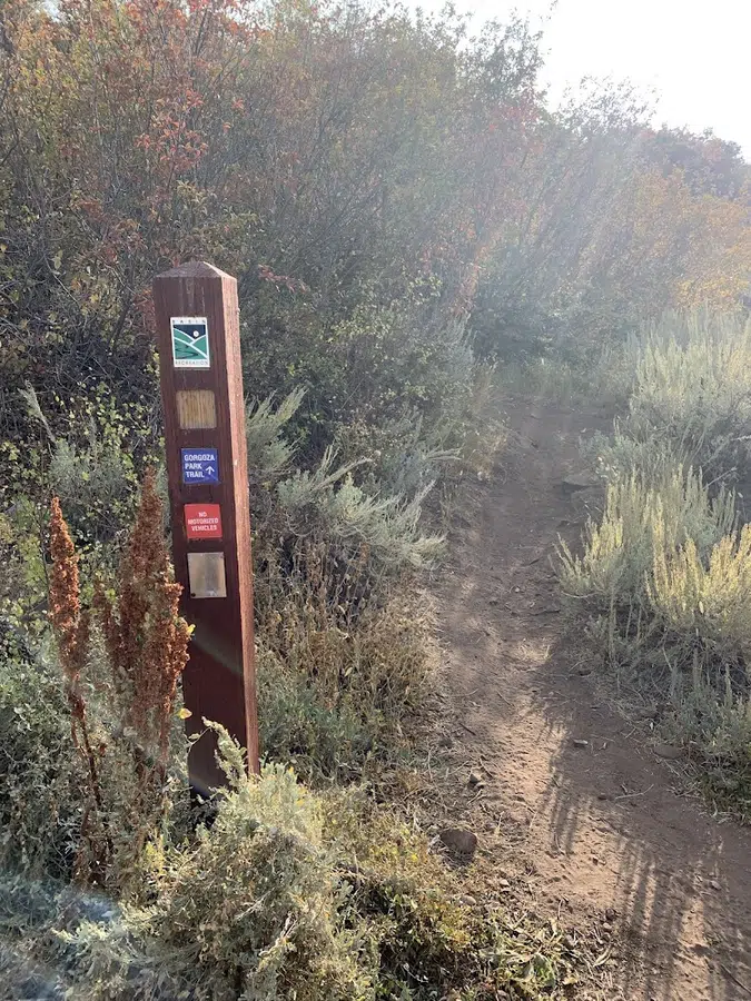
Greater Park City · Hiking trail access
Website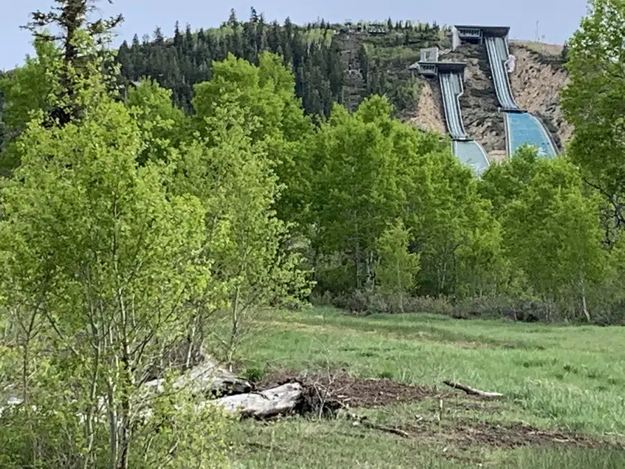
Kimball Junction · Hiking trail access
Website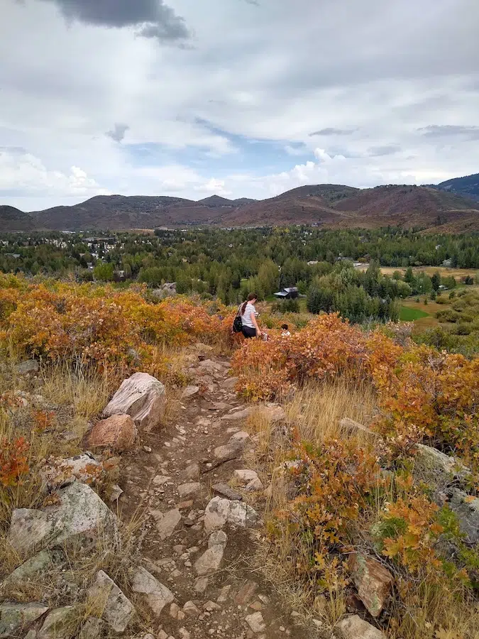
Greater Park City · Hiking trail access
Website
Greater Park City · Hiking trail access
Website
Greater Park City · Hiking trail access
Website
Greater Park City · Hiking trail access
Website
Greater Park City · Hiking trail access
WebsiteMcPolin Farm · Hiking ·
Website DirectionsPublished grade: Easy · Visit Park City
Distance: see source map. Distance not quantified in the cited route guide; open its map for the full outing.
Visit Park CityUtah Olympic Park · Hiking ·
Website DirectionsPublished grade: Easy · Visit Park City
2.5 miles. Published loop distance in the tourism bureau beginner-trail guide.
Visit Park City Published distanceDeer Valley · Hiking ·
Website DirectionsPublished grade: Easy · Visit Park City
Distance: see source map. Distance not quantified in the cited route guide; open its map for the full outing.
Visit Park CityPark City Mountain · Hiking ·
Website DirectionsPublished grade: Moderate · Visit Park City
Distance: see source map. Distance not quantified in the cited route guide; open its map for the full outing.
Visit Park CityDeer Valley · Hiking ·
Website DirectionsPublished grade: Moderate · Visit Park City
4.7 miles. Visit Park City describes the Silver Lake Village to Bald Mountain Peak outing as 4.7 miles out and back. This is the full published outing, not a one-way segment or a lift-assisted descent.
Visit Park City Published distanceCanyons Village · Hiking ·
Website DirectionsPublished grade: Moderate · Visit Park City
Distance: see source map. Distance not quantified in the cited route guide; open its map for the full outing.
Visit Park CityBonanza Flat / Guardsman Pass · Hiking ·
Website DirectionsPublished grade: Challenging · Visit Park City
Distance: see source map. Distance not quantified in the cited route guide; open its map for the full outing.
Visit Park CityCanyons Village · Hiking ·
Website DirectionsPublished grade: Challenging · Visit Park City
Distance: see source map. Distance not quantified in the cited route guide; open its map for the full outing.
Visit Park CityGreater Park City · Hiking trail access · 2740 Rasmussen Rd, Park City, Utah
Website DirectionsGreater Park City · Hiking trail access · UT-224, Park City, Utah
Website DirectionsGreater Park City · Hiking trail access · 685 Mellow Mountain Rd, Park City, Utah
Website DirectionsGreater Park City · Hiking trail access · 8030 N Gambel Dr, Park City, Utah
Website DirectionsKimball Junction · Hiking trail access · 3399 Olympic Pkwy, Park City, Utah
Website DirectionsGreater Park City · Hiking trail access · East of S.R. 224 on, Meadows Dr, Park City, Utah
Website DirectionsGreater Park City · Hiking trail access · 84098, Gillmor Way, Park City, Utah
Website DirectionsGreater Park City · Hiking trail access · 2387 Olympic Pkwy, Park City, Utah
Website DirectionsGreater Park City · Hiking trail access · 899-801 Parkview Dr, Park City, Utah
Website DirectionsGreater Park City · Hiking trail access · 3160 Round Valley Way, Park City, Utah
Website DirectionsCompare the source grade, footing and full outing distance; easy does not establish accessibility.
3 matching routes
Search easyReview climbing, elevation, surface and a turnaround point before committing.
3 matching routes
Search moderateRead the original grade and current trail guidance. Build the day around the least-experienced person.
2 matching routes
Search difficult / strenuousRound Valley is useful for accessible trail-network planning near town. Old Town and resort-side trails add steeper climbing and mining history. Bonanza Flat reaches higher terrain where snow can linger. The Heber Valley and Uinta approaches expand the options but turn the outing into a regional day.
Early-season and post-storm mud can damage trails and widen singletrack. If boots or tires leave deep tracks, turn around and choose a paved path, museum, gallery or another dry-area option. Current condition reports matter more than a saved route screenshot.
Practical planning depth
Round Valley, Old Town, resort-side trails and Bonanza Flat offer different elevations, grades and seasonal windows. Start with the zone that fits the weather, group and transportation plan. Higher terrain may retain snow or become exposed to thunderstorms while lower routes remain practical.
A mileage number alone is not enough. Review elevation gain, footing, exposure, shade and route-finding. Visitors arriving from lower elevations should use a conservative first outing and carry more water than they expect to need.
Trail etiquette protects access. Stay on the established route, yield according to posted rules and avoid muddy surfaces. Keep dogs controlled where permitted and carry waste out rather than leaving bags beside the trail.